FLY TWICE BUILD ONCE
PROFESSIONAL DRONE SERVICES FOR CONSTRUCTION
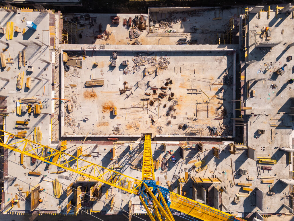
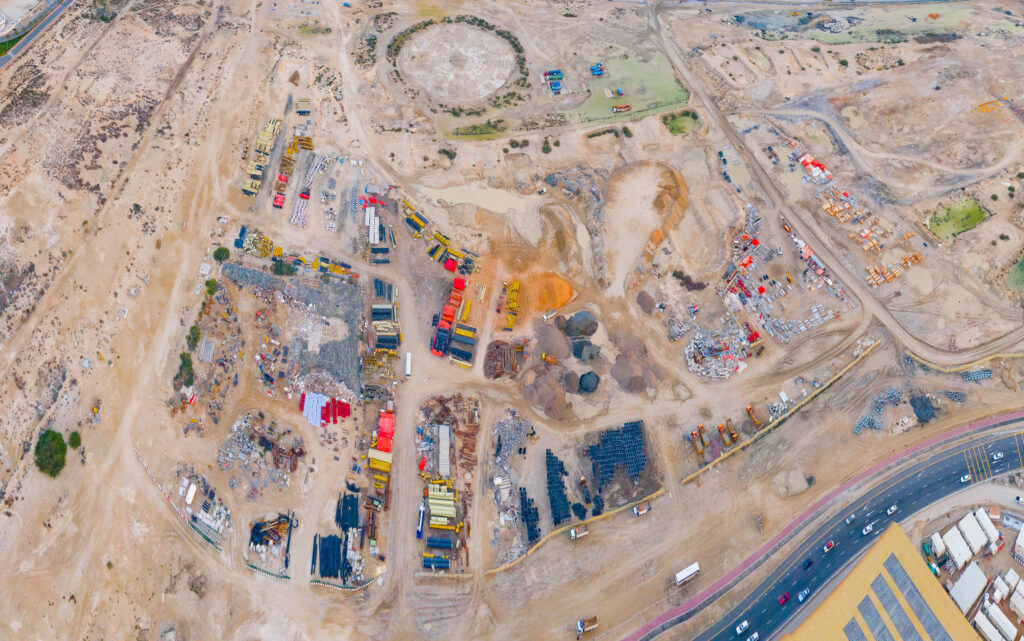
We capture and process high-resolution aerial data to provide a clear, current visual record of your construction project. This enables project teams to track progress, document work, and identify issues early to avoid schedule or budget impacts.
WHY CHOOSE DRONE INTELLIGENCE?
Better visibility leads to better decisions. Aerial Intelligence gives construction teams an easy way to see site progress, share updates, and keep everyone aligned throughout the project.
HOW IT WORKS
- Step 1: Set up your subscription by choosing the frequency, tier, and any add-ons.
-
Step 2: An FAA certified drone pilot will capture the aerial data.
-
Step 3: You will be able to access your data online within a short period of time.
PICK AN AERIAL VISUAL PLAN
Essentials
-
Ultra-High Resolution Orthomosaic
-
Cardinal Photo Set (16 Images Total)
-
Secure download link
Standard
-
Ultra-High Resolution Orthomosaic
-
Cardinal Photo Set (16 Images Total)
-
Orbit Videos (2)
-
Flyover Videos (4)
-
360° Panorama Capture (4)
-
Cloud Platform Access for 12 Months
Popular
Premium
-
Ultra-High Resolution Orthomosaic
-
Cardinal Photo Set (16 Images Total)
-
Orbit Videos (2)
-
Flyover Videos (4)
-
360° Panorama Capture (4)
-
Annotation Tools
-
Cloud Platform Access for 12 Months
-
Full 3D Exterior Model
-
Advanced Visualization Tools
SCHEDULE FREE CONSULTATION
CLIENT REVIEWS
“Aerial Intelligence made it much easier to keep our team aligned. The aerial updates helped us track progress, share clear visuals with stakeholders, and quickly document site conditions.”
“We needed clear, reliable site documentation, and their team delivered exactly that. The turnaround time and quality of the data made a real difference in our reporting.”
“The consistency of the progress reports and aerial visuals helped our team stay ahead of schedule and quickly flag potential issues.”